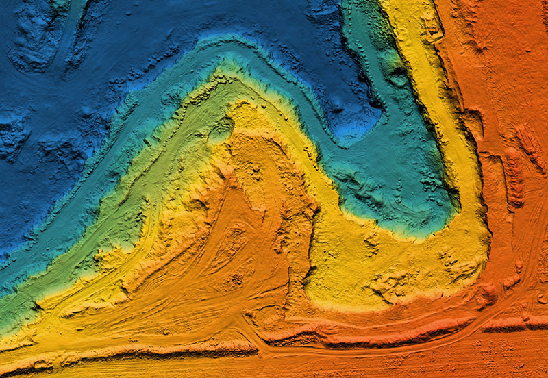
LiDAR scanning—short for Light Detection and Ranging—is a remote sensing method that uses laser light to measure distances with incredible precision. Think of it as a high-tech way to “see” the world in 3D. LiDAR is a game-changer—it captures the kind of detail that traditional surveying can’t always reach. Here at Mullins LLC we utilize this for Topographic Mapping, Site Planning & Design, Construction Monitoring, Infrastructure Inspection, Volume Calculations, and more. It brings precision, speed, and safety to every phase of a project and it’s especially valuable in large-scale or complex environments where traditional surveying would be slow or risky.